| ECOLOGY AND NATURAL RESOURCES |
|
||

| |||
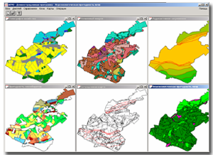 |
Joint international project JSP2 (Commission of the European Union, Ukraine, Russia, Belarus) "Creation of decision support system to eliminate long-term consequences of emergencies". The project included designing of software package, with a purpose to assess the level of contamination of crops and design automation for optimal land use patterns at the level of agricultural enterprise. |
 |
The joint Ukrainian-Canadian project "Development of optimizing the operation of Water Resources of Dnipro River Basin" within the Canadian program "Development of environmental management in Ukraine (area of Dnipro river basin). |
 |
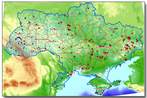
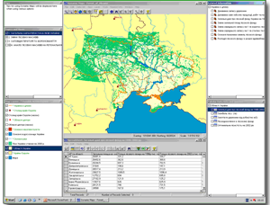
An electronic register of technologically and ecologically dangerous objects was created as part of addressing natural and manmade security of Ukraine by bringing new tools to reduce the anthropogenic impact on the environment and the implementation of a continuous monitoring of the potentially hazardous objects and territories. |
 |
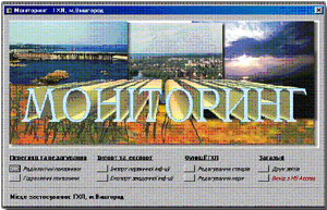
Environmental information monitoring system is designed to form the cadastral databases, cartographic information and remote sensing data, which shall allow placing the key focus to prevention of emergencies at the national level rather than emergency management. |
 |
The key purpose of the work was the phased definition of the current state of forest resources in the context of their protection, conservation, use and recovery. Satellite imagery, remote sensing data and GIS technology made it possible to upgrade managerial decision making process on forestry management and forest cover research. |
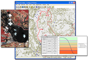 |
A typical computer system map support for environmental management, natural resources and environmental protection is focused on the regional level and has the same structure for each region of Ukraine. |
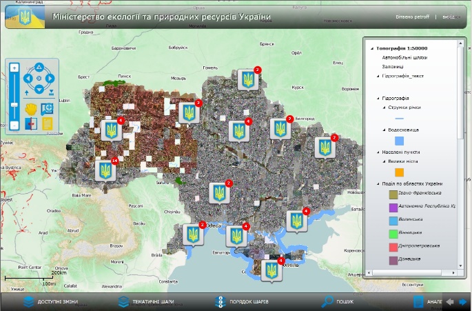 |
The system is a part of the integrated information-analytical system of the Ministry of Ecology and Natural Resources of Ukraine. It was intended for state environmental monitoring using automation and geographic information systems. |

