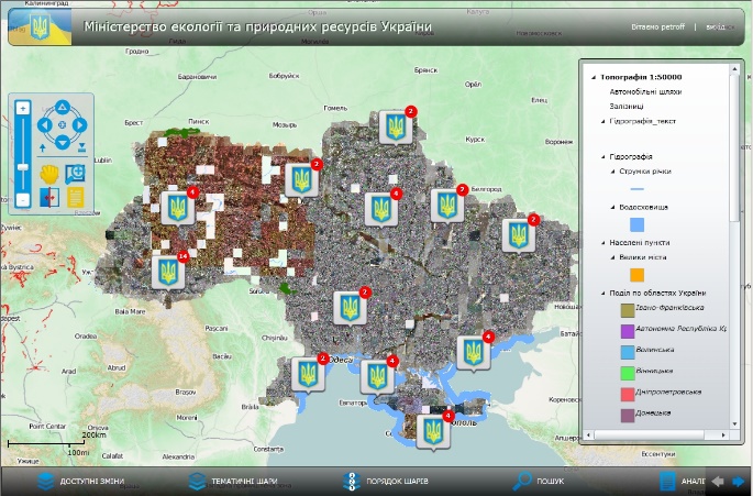
The system is a part
of the integrated information-analytical system of the Ministry of Ecology and
Natural Resources of Ukraine. It was intended for state environmental
monitoring using automation and geographic information systems.
The
system allows using remote sensing data from space for automated identification
and mapping the main types of impact on the forest fund, mining areas of various
types, industrial construction sites, transportation, agricultural and social
facilities, places of public utilities impact on the environment (landfills)
and following the extension of negative natural and man-caused processes.

 The system is a part
of the integrated information-analytical system of the Ministry of Ecology and
Natural Resources of Ukraine. It was intended for state environmental
monitoring using automation and geographic information systems.


