| PROJECTS |
|
||

| |||
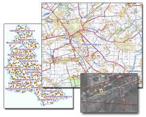 |
GIS "Resources" provides support for organizational units and information activities allows to automate decision-making on the whole complex of problems in accounting and management resources - lands of "Ukrtelecom" with buildings, structures, surface and underground technical objects. |
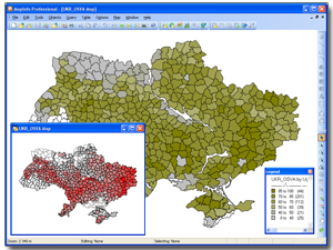 |
Information system for analysis of soil erosion is designed for current and forecasted analysis of crisis events on the state of soil and throughout Ukraine. |
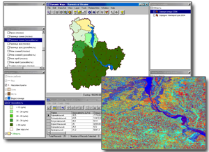 |
The aim of the project is to improve the methodological approaches used to monitor and assess the productivity of winter wheat on the basis of a comprehensive treatment of ground measurements (hydro-meteo-monitoring of agrochemical data) and based on satellite remote sensing. Also the project included possible research of the use of satellite images with different spatial and spectral accuracy. |
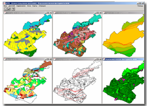 |
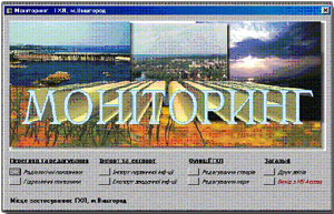
Joint international project JSP2 (Commission of the European Union, Ukraine, Russia, Belarus) "Creation of decision support system to eliminate long-term consequences of emergencies". The project included designing of software package, with a purpose to assess the level of contamination of crops and design automation for optimal land use patterns at the level of agricultural enterprise. |
 |
The joint Ukrainian-Canadian project "Development of optimizing the operation of Water Resources of Dnipro River Basin" within the Canadian program "Development of environmental management in Ukraine (area of Dnipro river basin). |

