| PROJECTS |
|
||

| |||
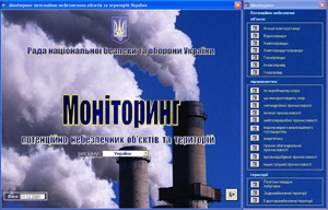 |
An electronic register of technologically and ecologically dangerous objects was created as part of addressing natural and manmade security of Ukraine by bringing new tools to reduce the anthropogenic impact on the environment and the implementation of a continuous monitoring of the potentially hazardous objects and territories. |
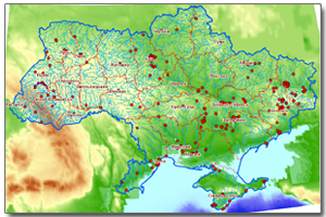 |
Environmental information monitoring system is designed to form the cadastral databases, cartographic information and remote sensing data, which shall allow placing the key focus to prevention of emergencies at the national level rather than emergency management. |
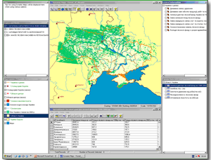 |
The key purpose of the work was the phased definition of the current state of forest resources in the context of their protection, conservation, use and recovery. Satellite imagery, remote sensing data and GIS technology made it possible to upgrade managerial decision making process on forestry management and forest cover research. |
 |
To ensure registration of land resources a number of projects was carried out for the preparation of regulatory and methodological support. |
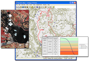 |
A typical computer system map support for environmental management, natural resources and environmental protection is focused on the regional level and has the same structure for each region of Ukraine. |

