| AGRICULTURE |
|
||

| |||
 |
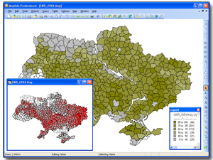
Information system for analysis of soil erosion is designed for current and forecasted analysis of crisis events on the state of soil and throughout Ukraine. |
 |
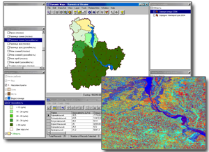
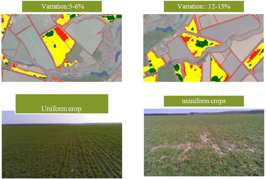
The aim of the project is to improve the methodological approaches used to monitor and assess the productivity of winter wheat on the basis of a comprehensive treatment of ground measurements (hydro-meteo-monitoring of agrochemical data) and based on satellite remote sensing. Also the project included possible research of the use of satellite images with different spatial and spectral accuracy. |
 |
We developed an geoportal for agriculture management
using space monitoring. Geoportal is web-based application, allowing you to put
into operation various information rapidly based on services created and
supported by our geoinformation solutions. It is a geo-information complex,
including hardware and software, as well as resupplied databases based on
satellite images and thematic maps. |


